


At 8am this morning, tropical storm Bonnie was moving west-north-west from Andros toward south
With maximum sustained winds of 40mph Bonnie has not strengthened since last night. Tropical storm force winds extend outward up to 85 miles, mainly to the north and east of the center.
In Andros, Island Administrator Charles Moss said the sun was shining over the island this morning. Moss told Bahamas Local News that most of the bad weather came between Wednesday night and Thursday evening.
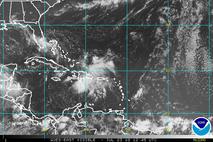

Photo: Satellite image of the Caribbean. Photo from the National Hurricane Center.
He said high winds started around 10:30 Wednesday night with rain continuing until Thursday afternoon. Moss said no major incidents were reported and that everything was back to normal this morning.
A tropical storm warning is still in effect for the northwestern Bahamas and the east coast of Florida from Deerfield Beach southward.
Bonnie has sped up and is moving toward the west-northwest near 19 mph. This motion is expected to continue during the next day or so.
The storm is expected to move over the southern Florida peninsula later today, heading toward the eastern Gulf of Mexico tonight and Saturday. Bonnie is forecast to approach the
northern Gulf Coast late Saturday or early Sunday.
No significant change in strength is expected before Bonnie moves over south Florida but a slight strengthening is possible when the cyclone moves over the Gulf of Mexico on Saturday.
Tropical storm conditions will continue over portions of the northwestern Bahamas this morning but should gradually diminish today. Tropical storm force winds mainly in squalls are expected
to spread over southern Florida and portions of the keys in the warning area later today.
The storm surge will raise water levels by as much as 1 to 2 feet above ground level over portions of the northwestern Bahamas...the Florida keys...and the southern Florida peninsula.
Isolated tornadoes are possible over extreme southern Florida later today.
Click here to read more at the National Hurricane Center
